Information
- Distance: 38.4 km
- Duration: 4 h
- Level: easy
- Sum of ascentings: 166 m
- Sum of descentings: 181 m
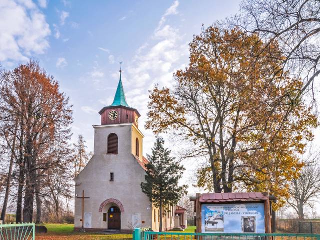
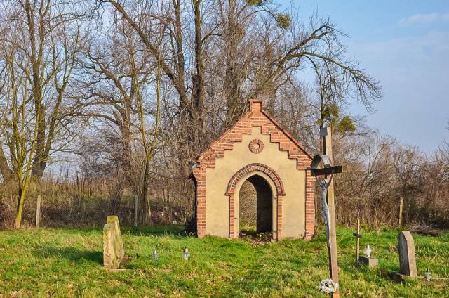
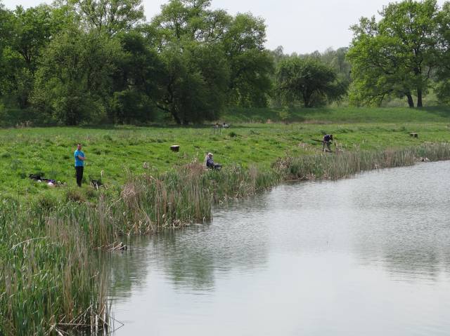
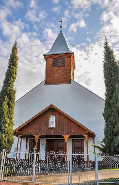
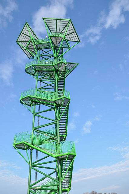
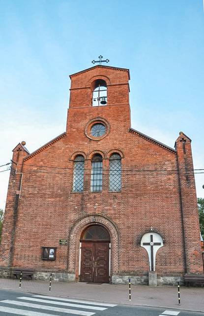
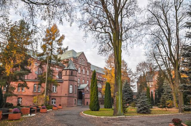
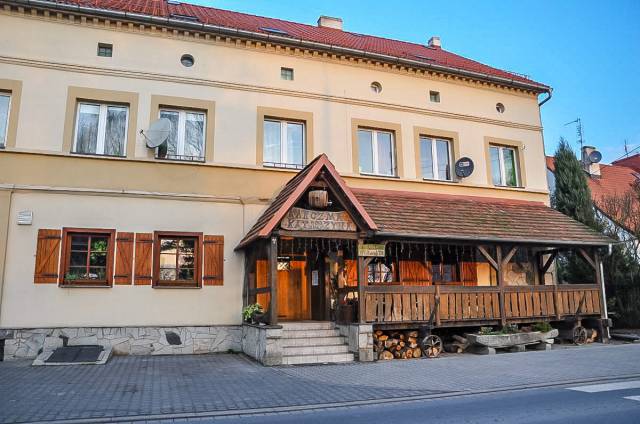
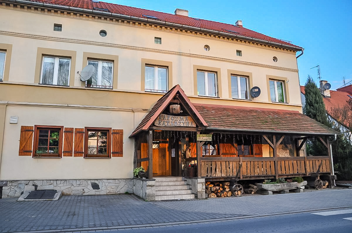
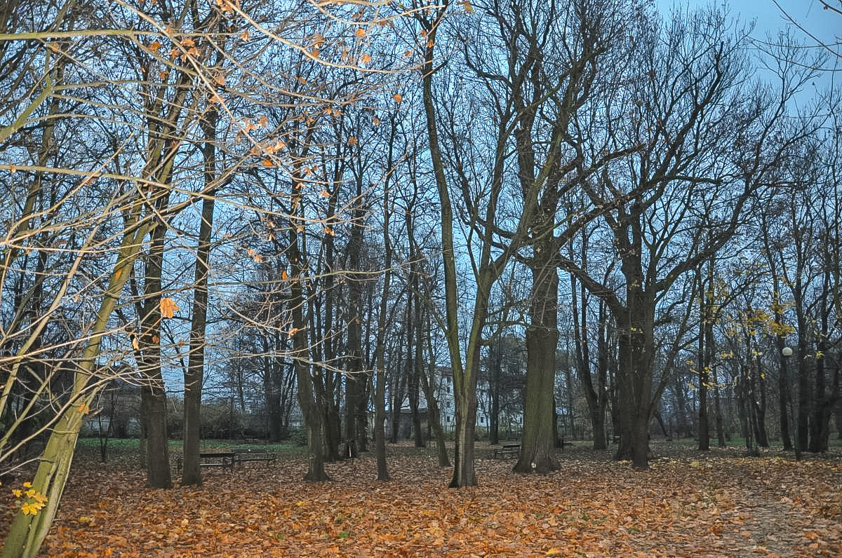
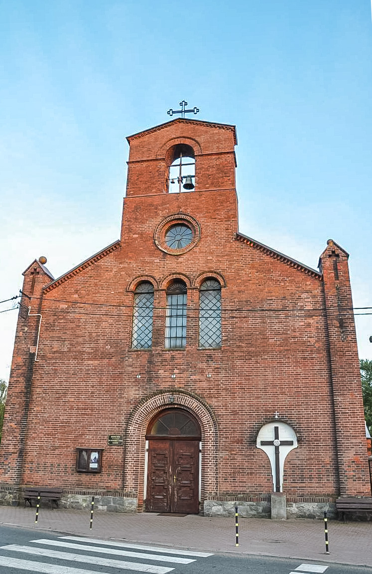
This trail is approx. 41 km long and will lead you from the outskirts of Wrocław (Kurpiowska street) across, among others, Święta Katarzyna, Kotowice, Trestno to Wrocław's Opatowice. It's a very diverse route, showing remarkable natural beauty, which has managed to survive near the great metropolis which is Wrocław, thanks to the network of backwaters and canals of the Oder river. Besides interesting sights (e.g. the church in Trestno, the monastery in Św. Katarzyna) you will encounter the waterfowl refuge and hornbeam forests on the Oder (Kotowice) and picturesque ponds (between Siechnice and Trestno). In Kotowice, you might want to look in Utrata and climb the 40-meter-high viewing tower. Spectacular!
distance (km)
altitude m a.s.l.


